
Things To Do Near Rexburg, Idaho
Webster Dam Hike: A Scenic Waterfall Trail Near Rexburg, Idaho
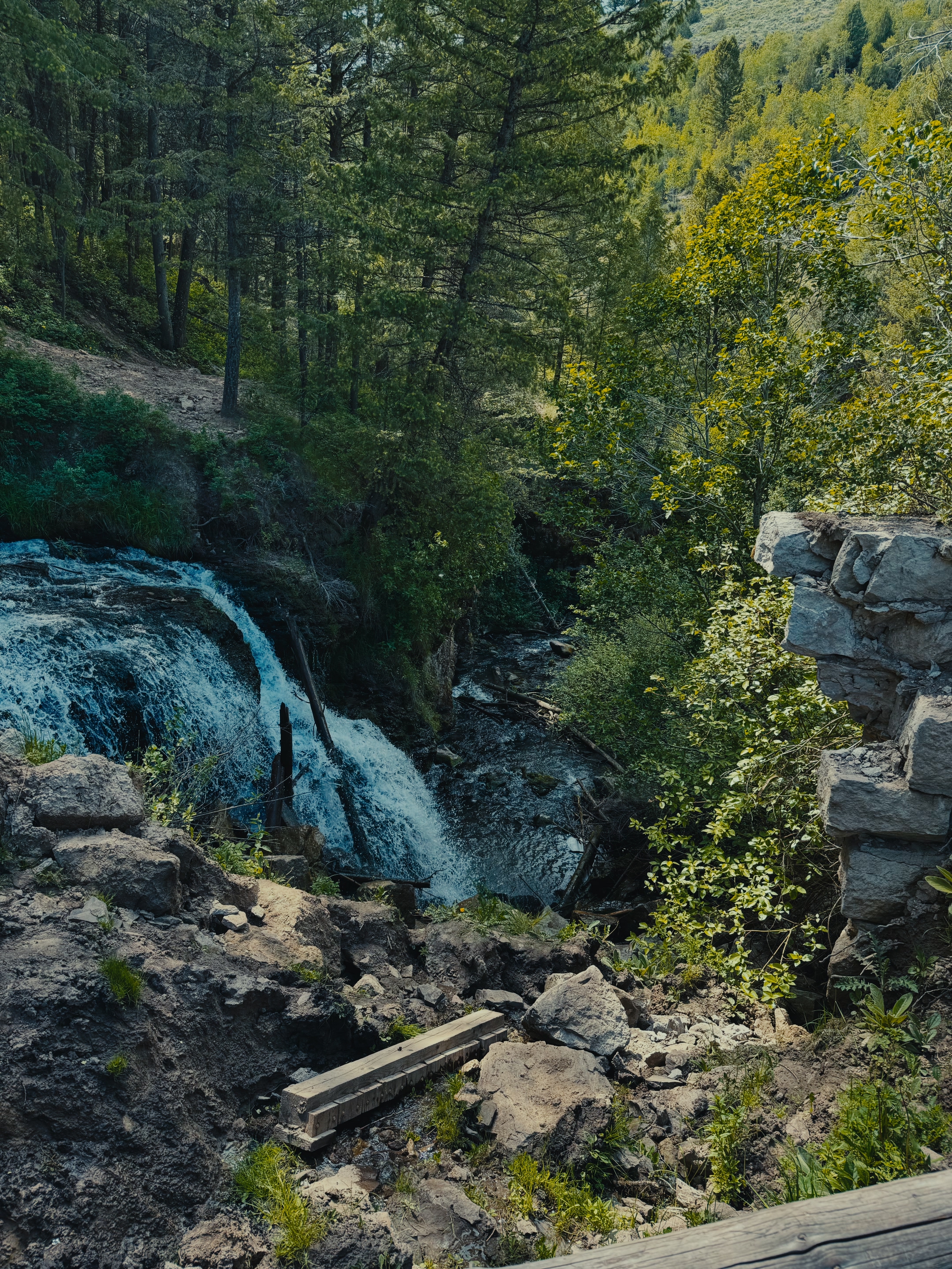
The Webster Dam hike is one of my favorite short adventures near Rexburg, Idaho. A shaded trail winds through the Madison County backcountry to a man-made dam and waterfall tucked into the hillside. The trailhead isn’t the easiest to find, and the path splits more than once. That little bit of adventure is part of the fun. Just know there’s no lifeguard at the pool below the falls, so you swim and wade at your own risk.
Webster Dam Hike Quick Facts
- Location: Madison County, Idaho — about a 30 minute drive from Rexburg
- Distance: Roughly 2.5 miles round trip
- Difficulty: Moderate — the trail is never flat, you are always heading up or down, with some built-in stairs on the steeper stretches
- Time: About 1–2 hours round trip
- Vehicle: A car with decent ground clearance is recommended to reach the trailhead
- Trail Use: Shared with fourwheelers and razors, so expect to see off-highway vehicles along the way
- Pro Tip: Download the AllTrails app before you go — the trail forks more than once and is not well marked
About Webster Dam
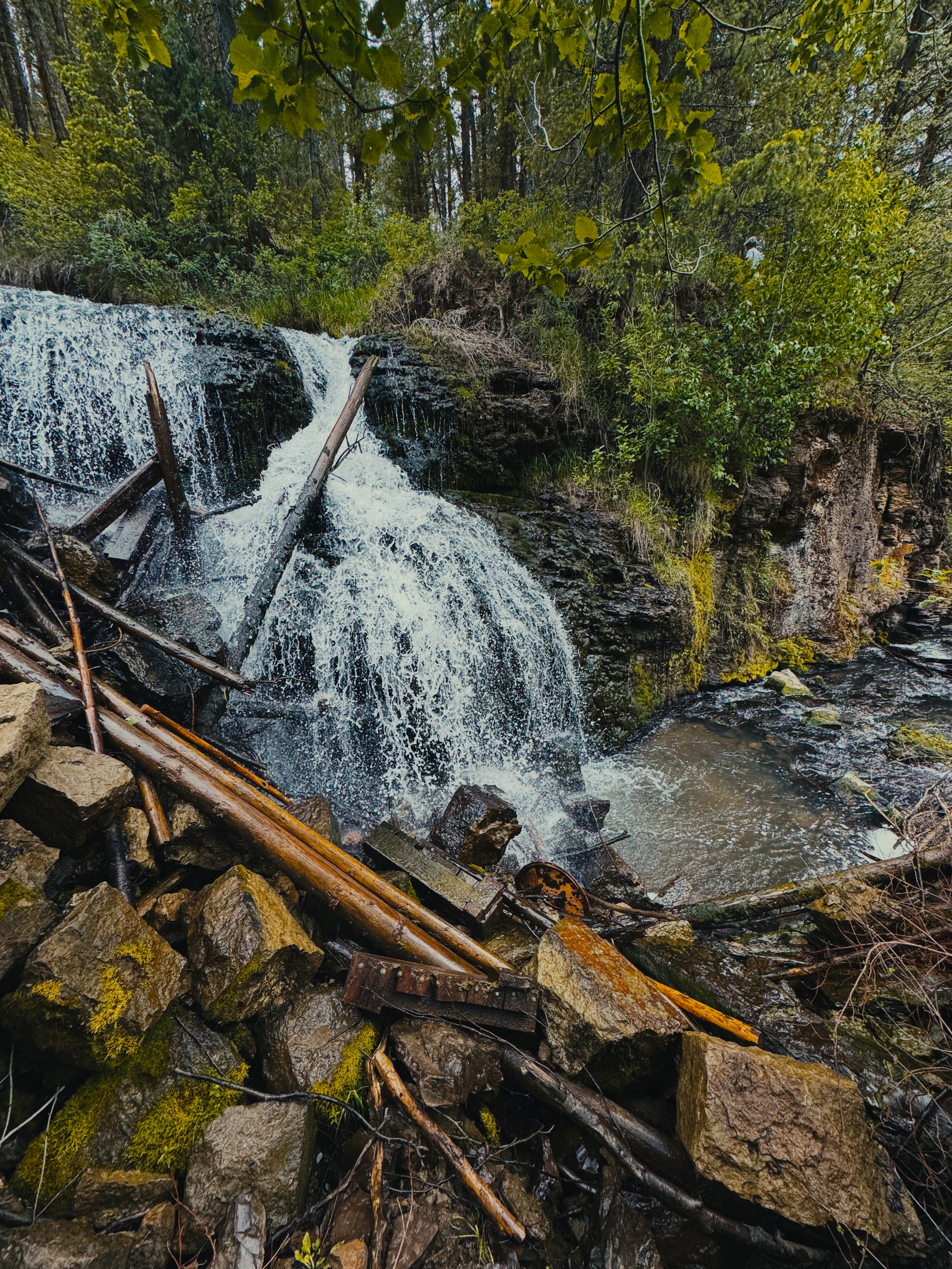
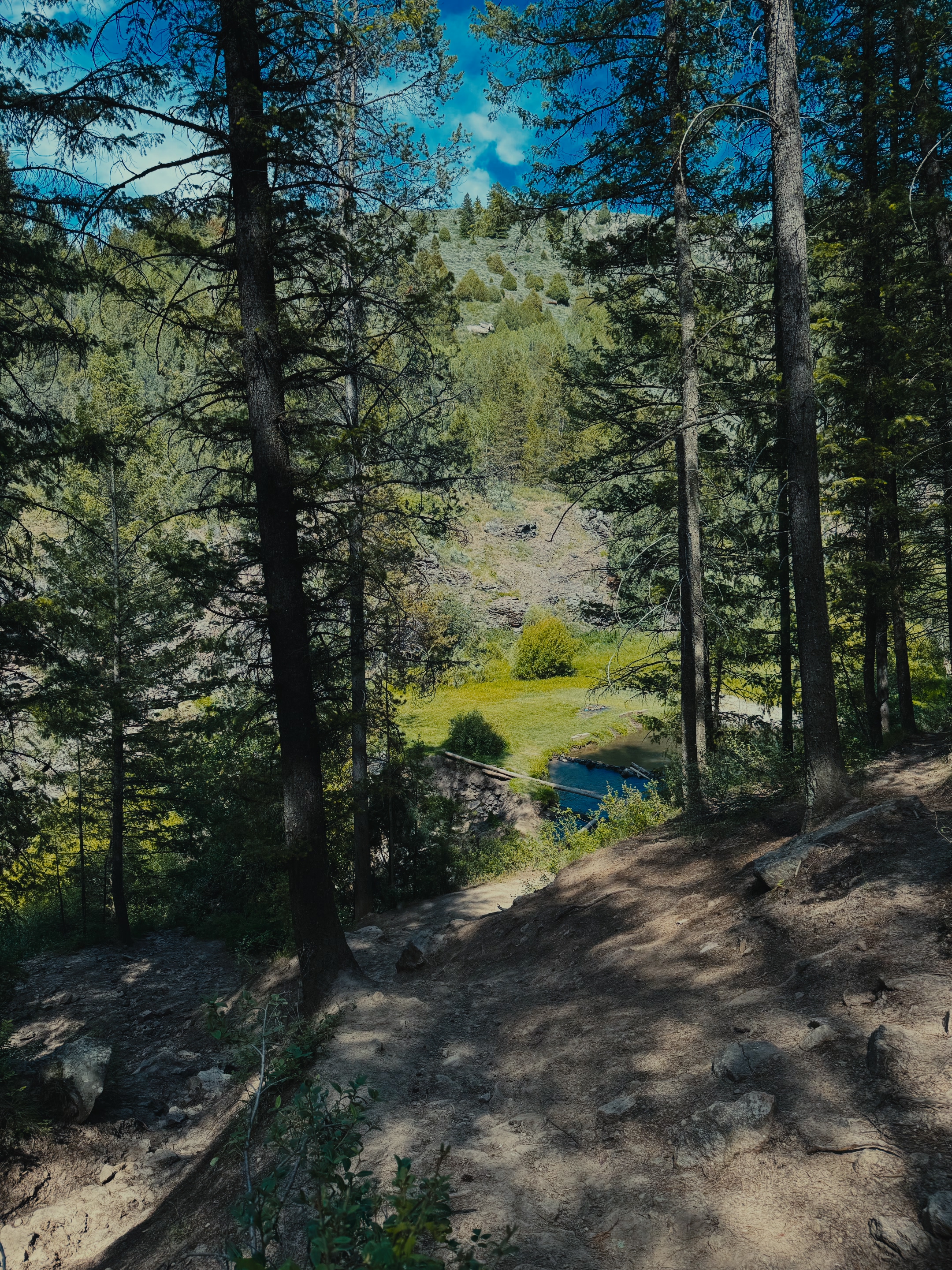
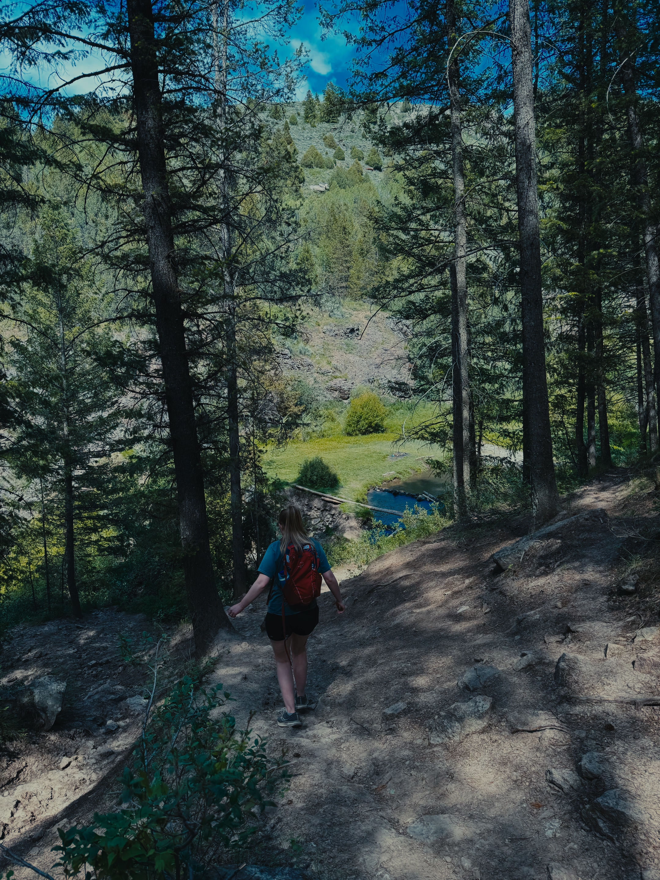
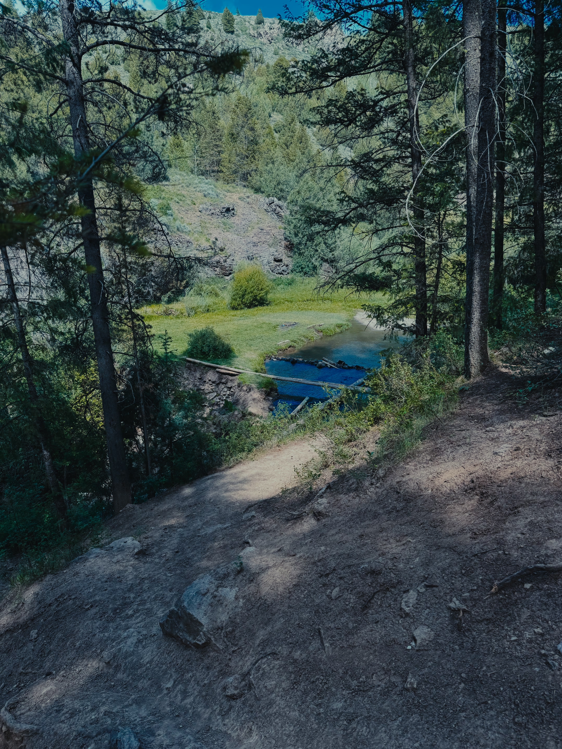
Webster Dam sits in the backcountry of Madison County, about a 30 minute drive from Rexburg. A man-made dam creates a beautiful waterfall here, along with a pool tucked into a rocky, forested draw. A grassy flat spot near the water makes a great picnic spot. The far end of the pool stays shallow enough to wade in and cool off. The whole area feels far more remote than it really is, and that’s a big part of the appeal.
Finding the Trailhead
I’ll be honest, Webster Dam isn’t the easiest trailhead to find on your own. Signage is minimal, and the access road can get rough. I’d recommend a vehicle with decent ground clearance rather than a low-riding car. Fourwheelers and razors use that same road and trail system too. Don’t be surprised if you share the path with a few off-highway vehicles along the way.
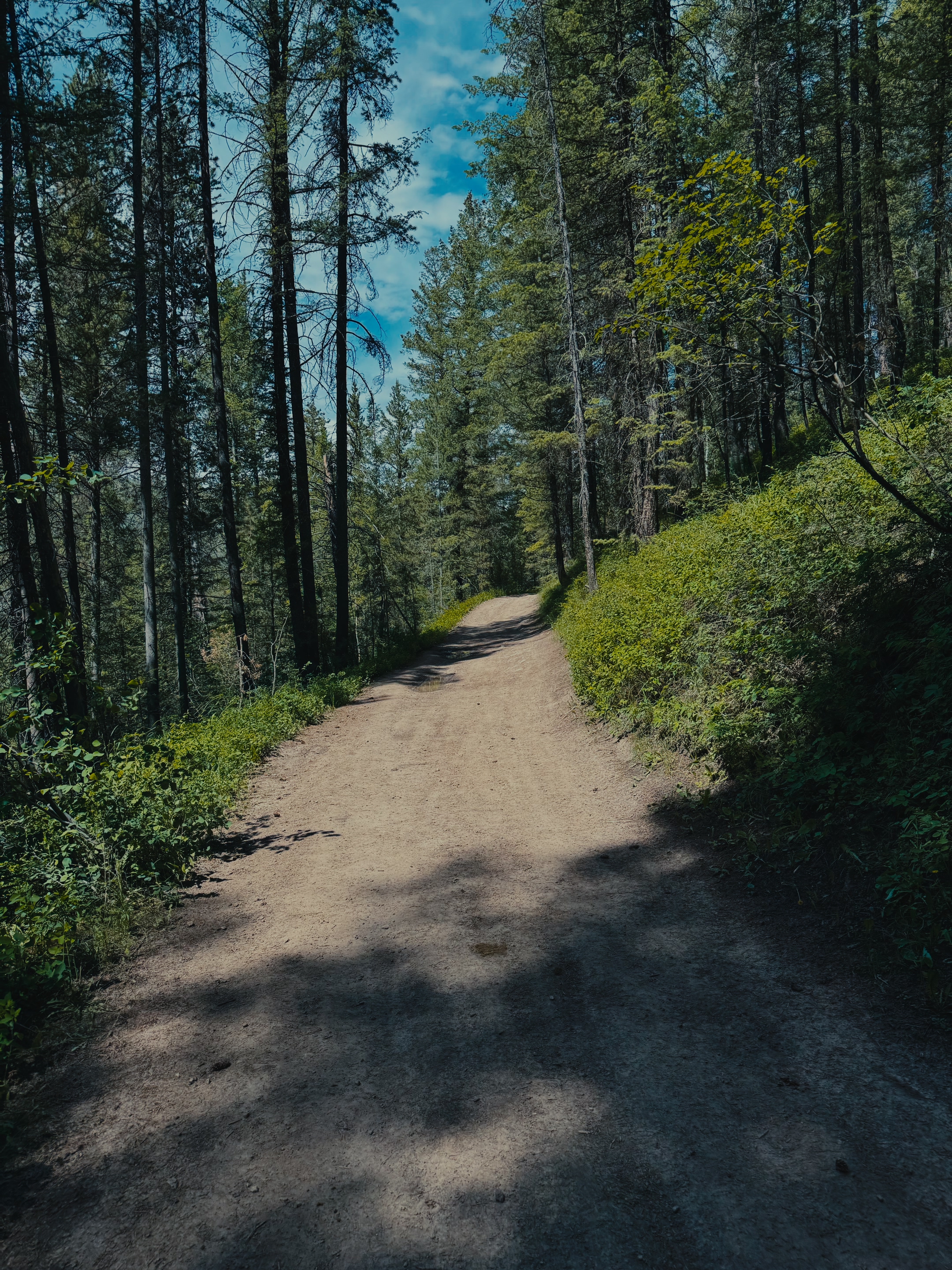
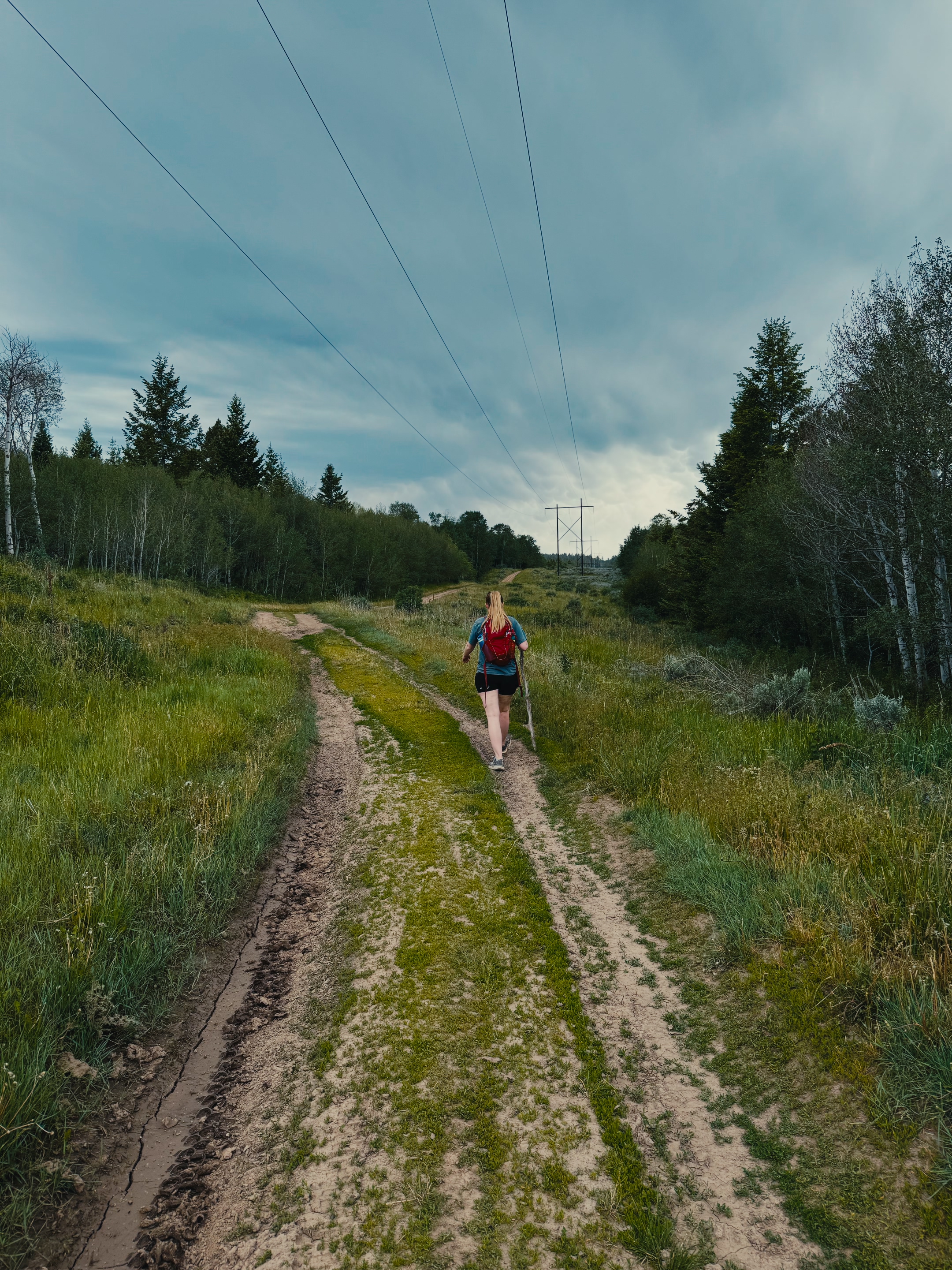
There’s also more than one way to get down to the falls. A mix of trails covers this area, and they all eventually lead to the same place, though the experience differs. On our visit, we accidentally ended up on the fourwheeling trail. If you’d rather stay on a dedicated hiking path, watch for the fork after you cross the rolling hills near the start. Take a left there, and it puts you on the hiker trail instead. Honestly, my best advice is to just follow whichever trail you’re on, since they all reach the dam eventually. The junctions can get confusing, so I highly recommend downloading the AllTrails app before you head out. It’s a great tool for staying on route, and I use it on hikes like this one.
What to Expect on the Trail
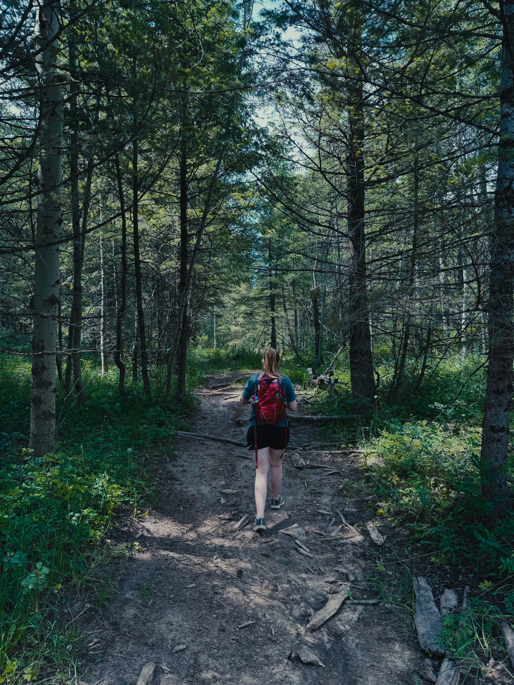
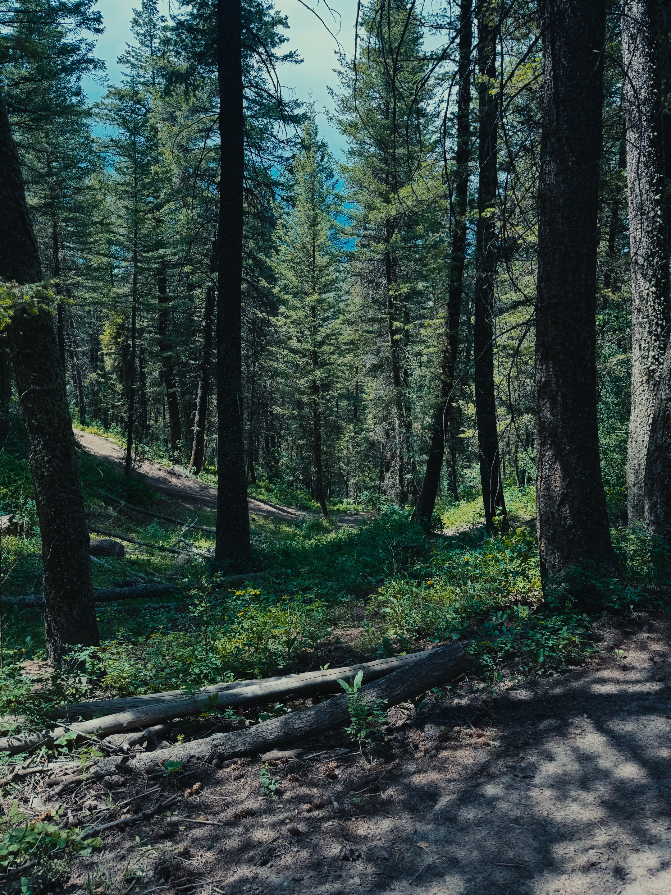
This is a fun hike, but don’t expect a flat, easy stroll. The trail never stays level — you’re pretty much always heading up or down. A few of the steeper sections even include built-in stairs to help with the climb. At about 2.5 miles round trip, it usually takes one to two hours. Your pace and how many breaks you take will affect that time. It’s a great workout without being extreme, and the payoff at the bottom makes the climb back up worth it.
Is the Webster Dam Hike Safe?
Webster Dam is a fun, family-friendly hike, but it’s still a backcountry trail. There’s no lifeguard at the pool, and off-highway vehicles share the trail too. Watch your footing on the stairs and steeper sections. Keep an eye on kids near the water, and stay aware of fourwheelers and razors sharing the trail. Cell service can be spotty in this area, so download the AllTrails app and your route ahead of time. It never hurts to let someone know your plans before you head out.
Webster Dam Hike Photos
Frequently Asked Questions About the Webster Dam Hike
Where is Webster Dam located?
Webster Dam is in Madison County, Idaho, about a 30 minute drive from Rexburg. Tap the Get Directions button above to open the trailhead in Google Maps.
Is Webster Dam easy to find?
Not really — signage is limited and the trail forks a few times. Download the AllTrails app before you go so you can follow your route even without cell service.
Do I need a special vehicle to get to the trailhead?
A car with decent ground clearance is recommended, since the access road can get a little rough in spots.
Can you take fourwheelers or razors to Webster Dam?
Yes. The same trail system is used by fourwheelers and razors, so hikers should stay aware of off-highway vehicle traffic along the way.
Is the Webster Dam hike flat?
No. The trail is always heading up or down, and some of the steeper sections have stairs built in to help with the climb. It is a moderate hike rather than an easy, flat walk.
What should I bring on the Webster Dam hike?
Bring water, sturdy shoes for the stairs and inclines, sunscreen, and a downloaded AllTrails route since cell service is limited. If you plan to wade in the pool, water shoes and a towel are a good idea too.